
Hvar offers quite different passages along its two coasts: deep inlets around Stari Grad and Vrboska, Hvar Town facing the Pakleni Islands, and a steep southern shore punctuated by small beach coves. Choose a departure harbour for the coast you intend to explore, and plan the return with the afternoon wind in mind.
Hvar Island – Choose pickup
Choose your departure place, then find a boat for your dates.
Harbours and coastal passages
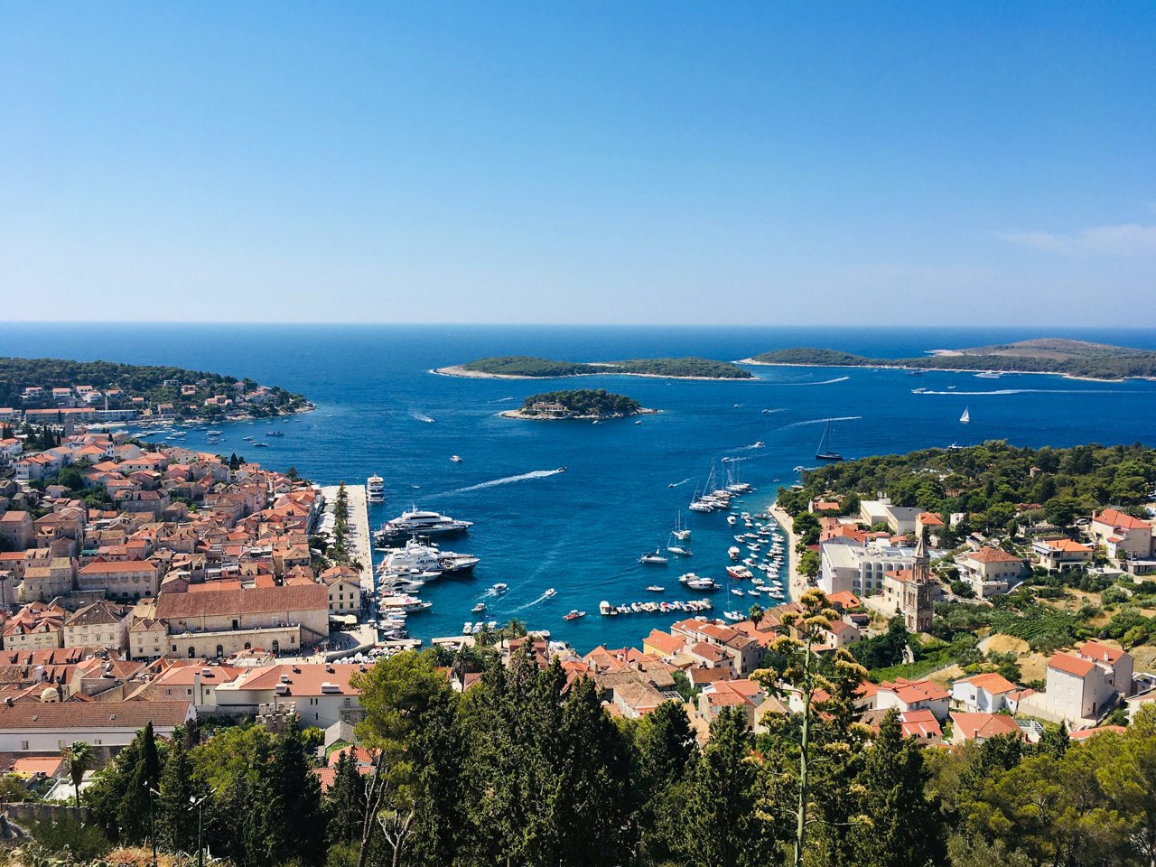
Hvar Town and the Pakleni Islands
The town harbour faces south and west; wind and swell from these directions can make a quay stop uncomfortable. Arrange your arrival with the harbour operator and keep passenger-boat manoeuvring areas clear. The Pakleni Islands offer a nearby cruising area, but their channels contain shoals and require a current chart rather than a shortcut between visible headlands.
Palmižana and Vinogradišće
ACI Marina Palmižana lies on the northeastern shore of Sveti Klement. Its approach includes Baba Rock, and the operator warns that strong west or southwest winds can produce surge. Check the marina’s current arrival instructions and availability. Vinogradišće is a separate bay on the southern side of the island: confirm the current mooring arrangement and anchoring rules before committing to a stop. Both are excursion destinations from Hvar.
Stari Grad, Jelsa and Vrboska
Stari Grad lies deep inside a long bay, with Tiha providing another destination along its northern side. Farther east, Jelsa and Vrboska give access to the island’s northern coast. Vrboska’s narrow inlet contains the ACI marina; follow the marked approach and the marina’s instructions. Confirm the precise boarding or berthing point at each harbour rather than assuming the nearest quay is available.
Sućuraj and the eastern coast
Sućuraj is the island’s eastern harbour and a ferry port on the Drvenik crossing. Keep the ferry berth and its approaches clear. A passage here from western Hvar covers a substantial length of coast: allow for the whole return leg, changing sea conditions and the boat’s permitted cruising area.
Dubovica, Lučišća and Šćedro
Dubovica’s pebble beach and the rocky cove of Lučišća, also written Lučišće, near Sveta Nedjelja give the southern coastline its close-to-shore appeal. Consider them daytime stops only after assessing the actual wind, swell, depth and room to swing. A small beach cove is not a substitute for a confirmed harbour berth when conditions deteriorate. Keep clear of swimmers and avoid dragging an anchor or chain across seagrass.
Šćedro is a separate island off Hvar’s southern shore. Lovišće and Mostir indent its northern coast and make worthwhile sailing destinations when the forecast suits the crossing and the chosen bay. Check current local mooring instructions and protection measures before anchoring. The Pakleni Islands and Šćedro are places to visit by boat; arrange your rental departure at one of the Hvar pickup places above.
Sources
- Stari Grad Tourist Board: Hvar’s coastal sailing areas, harbours and wind exposure.
- ACI Marina Palmižana: location, approach hazards and weather caution; ACI Marina Vrboska: inlet and approach.
- Hvar Tourist Board: Dubovica; Lučišće near Sveta Nedjelja.
- Jelsa Tourist Board: Šćedro, Lovišće and Mostir; Vrboska harbour.
- Sućuraj Tourist Board: port access.
- Croatian navigation safety regulations, NN 52/2025, Articles 53 and 67: anchoring and the Pakleni Channel.
- DHMZ: Adriatic marine forecast.
- Photograph: Hvar Town and the Pakleni Islands from the Spanish Fortress, Bells Mayer, published 24 September 2021, Unsplash License. Resized and recompressed.