
Šolta’s north coast faces Split, while Maslinica and its offshore islets mark the island’s western end. Rogač is the main arrival harbour; Nečujam’s broad bay, Stomorska’s waterfront and the southern coves offer different days afloat. Choose a departure place for the coast you intend to explore.
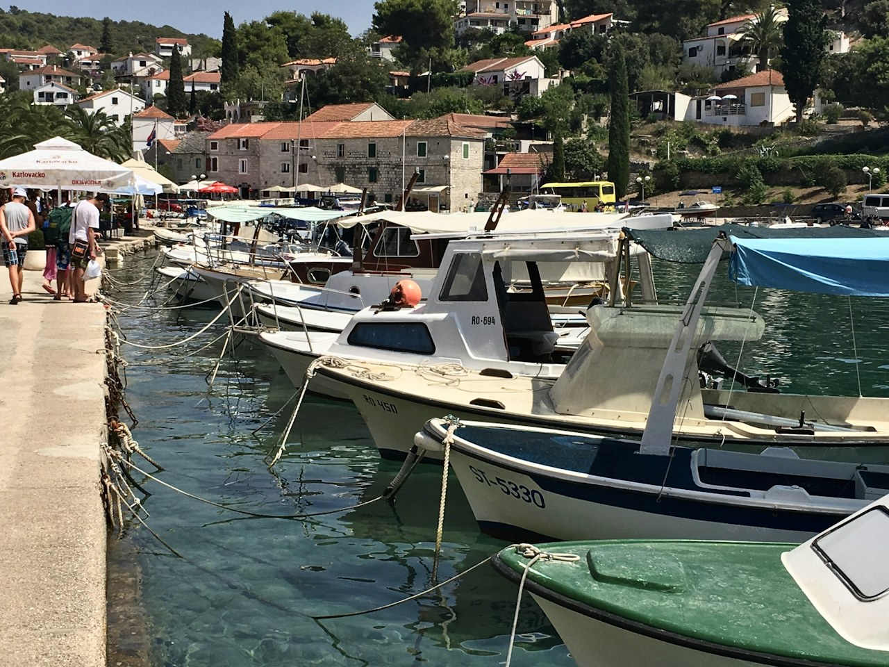
Šolta Island – Choose pickup
Choose your departure place, then find a boat for your dates.
North-coast harbours and coves
Rogač: the main island port
Rogač handles the regular Split ferry and has nautical moorings and fuel facilities. It is a practical reference point for planning an arrival on Šolta, but the ferry quay and a rental boat’s boarding point are different arrangements. Agree the precise pickup with the owner, keep ferry operations clear and ask port staff about visitor berthing.
Nečujam: a bay with several arms
Šolta’s largest bay opens along the northern coast and divides into smaller coves, including Tiha and Piškera. Explore the arms separately rather than treating the entire bay as one anchorage. Piškera contains submerged remains of an ancient fishpond; keep anchors and chains clear of the remains and respect marked swimming areas.
Stomorska: a harbour stop
Stomorska’s waterfront is another established nautical stopping place on the northern coast. The tourist board lists visitor moorings with water and electricity. Contact harbour staff for current space and arrival instructions; the published facilities do not establish that a berth will be available when you arrive.
Maslinica, the western islets and Šešula
Maslinica combines a village harbour with Marina Martinis Marchi. The marina uses stern-to mooring lines and provides water and electricity; contact reception on VHF channel 17 for berthing instructions. Confirm the exact collection point when arranging a boat from either Maslinica or the marina.
The islets off Maslinica and neighbouring Šešula Bay make a natural western-coast excursion. Consult current charts before choosing a passage between the islets. In Šešula, assess the particular arm and the expected wind and swell before settling on a stop; an indented coastline alone does not make every position suitable overnight.
Southern coves and the Split Gates
Tatinja and Stračinska offer further coastal stops when conditions suit. Tatinja has rocks projecting within the bay, so use the chart rather than judging an approach from a beach photograph. The Šolta Tourist Board cautions that Stračinska is unsuitable in strong jugo.
Farther east, Livka lies near the Split Gates, facing the passage toward Brač. Passing vessels can produce wash, and the tourist board warns against using the bay in southerly winds. Treat a crossing toward Brač as a separate passage, with a forecast and return plan suited to the boat, rather than an automatic extension of a swim stop.
Local guide sources
- Šolta Tourist Board: Rogač and Stomorska nautical moorings; Jadrolinija: Split–Rogač ferry.
- Šolta Tourist Board: Nečujam and its coves; Split-Dalmatia County Tourist Board: Piškera fishpond remains.
- Marina Martinis Marchi: location, mooring system and VHF contact.
- Šolta Tourist Board: Šešula, Tatinja, Stračinska and Livka; rocks, vessel wash and southerly-wind cautions.
- DHMZ: Adriatic marine forecast; Hydrographic Institute of the Republic of Croatia: Notices to Mariners.
- Photograph: Boats in Maslinica harbour, Šolta, Gian Luca Garattoni, published 7 January 2023, Unsplash License. Resized to 1280 pixels and JPEG compressed.